Quincy Bluff & Wetlands State Natural Area
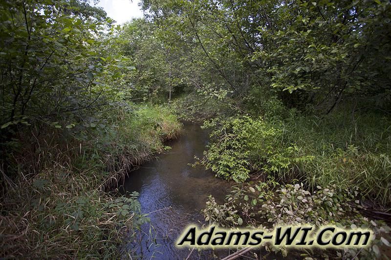
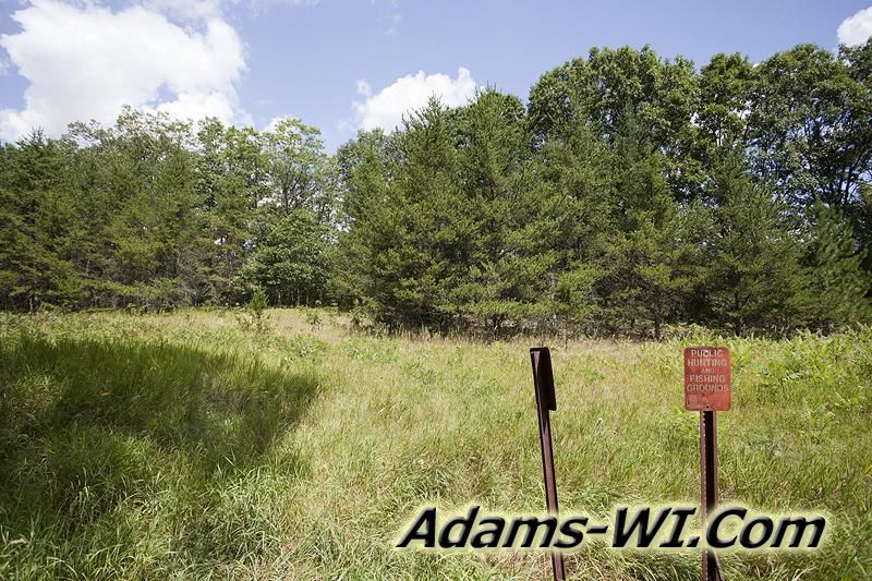
Quincy Bluff and Wetlands State Natural Area are located in Quincy Township of Adams County, Central Wisconsin and is part of the Central Sands Plains. There is a lot of wilderness with a couple key features like Quincy Bluff, plenty of Wisconsin Wildlife, Lone Rock and a view of Rattlesnake Mound. This public area allows hunting, fishing, wildlife viewing, edible foraging for mushrooms and berries, BUT NOT ALLOWED is camping, vehicles, campfires and non-edible collecting like rocks, fossils etc… It’s also located not far from Castle Rock Lake, Castle Rock County Park, Wisconsin River and Solberg Silver Lake SNA which is also public land open to hunting. Quincy Bluff is about 200 feet in height, but it seems that Lone Rock is more popular for hikers.
Quincy Bluff Wetlands SNA
Lone Rock MAP
Quincy Bluff & Wetlands State Natural Area Features:
- Quincy Bluff
- Part of 3 Reservoir
- Lone Rock
- View of Rattlesnake Mound
- Oak Barrens
- Oak Trees
- Pine Trees
- Aspen Trees
- Maple Trees
Activities Allowed:
- Hunting
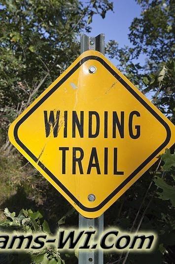
- Hiking
- Wildlife Viewing
- Trapping
- Cross Country Skiing
- Snowshoeing
- Fishing
Photos and Pictures


Activities NOT Allowed:
- Campfires
- Motor Vehicles – ATVing, Snowmobiling, etc…
- Horseback Riding
- Biking
- Collecting or Foraging NON-Edible seeds, roots, plants, fungi, rocks, fossils ect…
- Camping
- Rock Climbing
- Geocaching
Area Wisconsin Public Land
- Sohlberg Silver Lake State Park
- Colburn Wildlife Area
- Castle Rock County Park - Adams County Side
- Castle Rock Dam
- Buckhorn State Park
- Roche-A-Cri State Park
- Friendship Park
Land for Sale by Quincy Bluff & Wetland Area
Homes for Sale
Nearby Communities
- Adams WI 53910
- Friendship WI 53934
- Grand Marsh WI 53936
- Dellwood Wisconsin
- White Creek Wisconsin
- Easton Wisconsin
Local Area Lakes, Rivers & Creeks
- Wisconsin River
- Castle Rock Lake
- Silver Lake
- Duck Creek
- Klein Creek
- Fairbanks Creek
- Risk Creek
- Easton Lake
- Friendship Lake
- Little Roche-A-Cri Creek


